All industries
Forestry & Large Landowners
Protect remote land before a spark becomes a fire.
Signal4D monitors large, remote holdings for ignition risk — dry conditions, lightning, and satellite fire activity — and uses historical analysis to cut false positives, so teams can act on real threats early.
Request a demo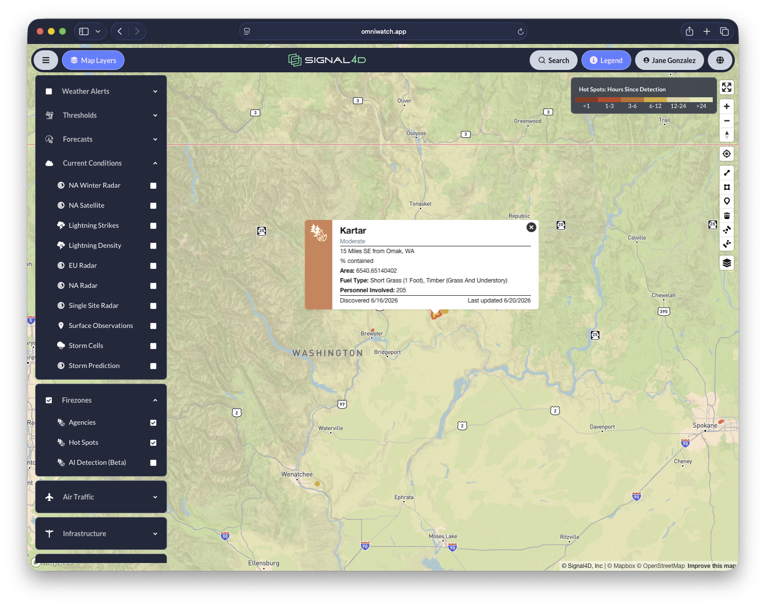
What you get
Built for how forestry & large landowners teams work.
- Monitor remote land holdings at scale
- Detect lightning-driven ignition risk and likely hotspots earlier
- Reduce false positives using historical heat-source analysis
- Protect timber, land, facilities and crews
- Deliver the same real-time picture to field, operations and management
In OmniWatch 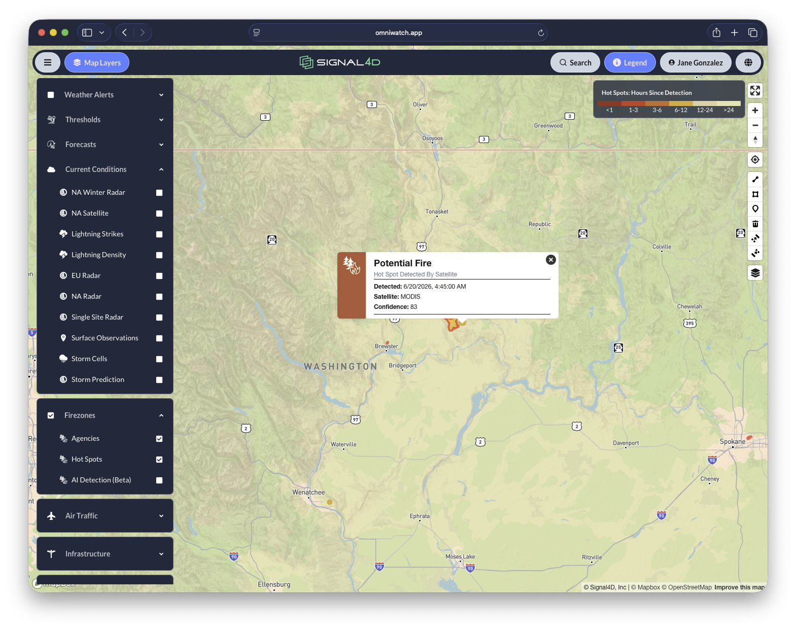
See it on the map.
Common questions
Weather intelligence for forestry & large landowners, answered.
- How do large landowners detect wildfire ignition early?
- Early wildfire detection combines the precursors of ignition — dry fuels, red-flag conditions, lightning strikes — with satellite hot-spot detection from NOAA and NASA. Signal4D monitors all of these against a map of the holdings themselves, so a landowner learns about a likely ignition on their ground in minutes, not when smoke is reported.
- How does Signal4D reduce false-positive fire alerts?
- Signal4D applies historical heat-source analysis to satellite detections — known industrial sites, flares, and other persistent heat sources are recognized and filtered — so teams are alerted on genuinely new hot spots rather than chasing the same false positives every day.
- Can Signal4D monitor remote land at scale?
- Yes. Signal4D monitors large, remote holdings at regional and continental scale using satellite and global data that do not depend on local infrastructure — and delivers the same real-time picture to the field, operations, and management.
More answers on the Signal4D FAQ and in the weather-intelligence glossary.
See it on your own operation.
See how Signal4D applies to your forestry & large landowners operation — your assets, your territory, your thresholds.